Maps & Atlases
In stock
OS Explorer Map sheet 289 covers Harrogate to Pontefract, including Leeds and the...
RRP:16.99
Your price:
£15.29
In stock
Map sheet number OL7 in the OS Explorer map series, The English Lakes: South-eastern...
RRP:12.99
Your price:
£11.69
In stock
The new Dinky Maps published by Dorrigo feature Ordnance Survey scale mapping
RRP:3.99
Your price:
£3.59
In stock
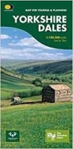
This map provides a colourful overview of the Dales - famous Swaledale, Wensleydale,...
RRP:7.95
Your price:
£7.16
In stock
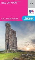
The OS Landranger Map is the ideal map for planning the perfect day out. This best...
RRP:12.99
Your price:
£11.69
In stock
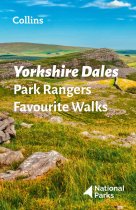
Walking guide to the Yorkshire Dales National Park, with 20 best routes chosen by the...
RRP:6.99
Your price:
£6.29
In stock
Walking guide to the Lake District National Park, with 20 best routes chosen by the...
RRP:6.99
Your price:
£6.29
In stock
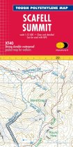
Helps you decipher the detail Enlarged map for hillwalkers of the summit of Scafell at...
RRP:7.95
Your price:
£7.16
In stock
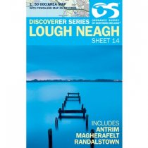
Lough Neagh 1:50 000 scale multipurpose paper mapping.
RRP:10.99
Your price:
£9.89
In stock
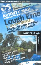
These maps are designed for tourist and leisure activities. Each map covers an area...
RRP:10.99
Your price:
£9.89
In stock
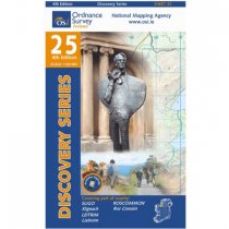
The maps produced by Ordnance Survey Ireland are called the Discovery Series....
RRP:14.99
Your price:
£13.49
In stock
For use whether touring or exploring, these maps show the road network as well as...
RRP:10.99
Your price:
£9.89

