Maps & Atlases
In stock
OS Explorer is the Ordnance Survey's most detailed map and is recommended for anyone...
RRP:12.99
Your price:
£11.69
In stock
OS Explorer is the Ordnance Survey's most detailed map and is recommended for anyone...
RRP:12.99
Your price:
£11.69
In stock
The OS Tour Map series is a must for anyone visiting Britain's most popular holiday...
RRP:6.99
Your price:
£6.29
In stock
The new Dinky Maps published by Dorrigo feature Ordnance Survey scale mapping
RRP:3.99
Your price:
£3.59
In stock
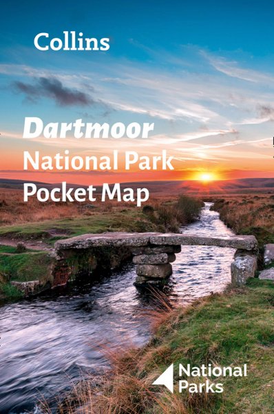
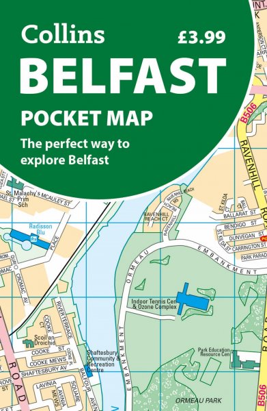
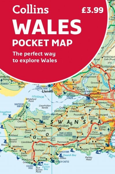
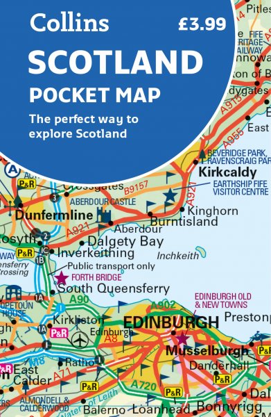
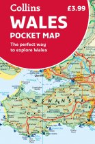
Explore new places with handy pocket maps from Collins.
Handy little full-colour map...
RRP:3.99
Your price:
£3.59
In stock
** RRP £9.99 - our price £3.99 **
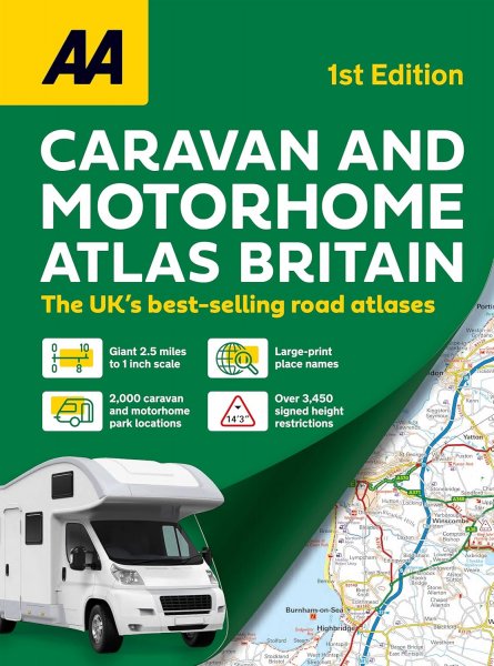
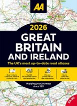
This A3 format atlas provides clear, easy to use...
RRP:3.99
Your price:
£3.59
In stock
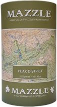
The Peak District MAZZLE is a full colour jigsaw based on the renowned British Mountain...
RRP:25.95
Your price:
£23.36
In stock
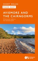
Short Walks Made Easy Guide to Aviemore and the Cairngorms, featuring 10 outstanding...
RRP:6.99
Your price:
£6.29
In stock
An all purpose map packed full of information to help you really get to know an area....
RRP:12.99
Your price:
£11.69
In stock
An all purpose map packed full of information to help you really get to know an area....
RRP:12.99
Your price:
£11.69
In stock
Explore some of Perthshire's less frequented roads with stunning views of the...
RRP:6.95
Your price:
£6.26
In stock
A laminated all purpose map packed full of information to help you really get to know...
RRP:12.99
Your price:
£11.69

