Maps & Atlases
In stock
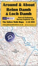
Around and About maps bring local mapping to a wider audience. They are very popular...
RRP:4.95
Your price:
£4.46
In stock
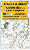
Around and About maps bring local mapping to a wider audience. They are very popular...
RRP:4.95
Your price:
£4.46
In stock
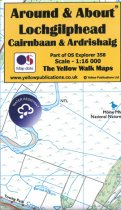
Around and About maps bring local mapping to a wider audience. They are very popular...
RRP:4.95
Your price:
£4.46
In stock
Cycling map of Highland Perthshire at 1:100,000 scale.Includes suggested cycle...
RRP:9.95
Your price:
£8.96
In stock
Around and About maps bring local mapping to a wider audience. They are very popular...
RRP:4.95
Your price:
£4.46
In stock
One of three Footpath maps to cover the full length of the West Highland Way,...
RRP:9.95
Your price:
£8.96
In stock
Around and About maps bring local mapping to a wider audience. They are very popular...
RRP:4.95
Your price:
£4.46
In stock
OS Explorer is the Ordnance Survey's most detailed map and is recommended for anyone...
RRP:16.99
Your price:
£15.29
In stock
OS Explorer is the Ordnance Survey's most detailed map and is recommended for anyone...
RRP:16.99
Your price:
£15.29
In stock
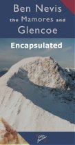
Ben Nevis the Mamores and Glen Coe Map 3cm : 2 km - encapsulated.
A Laminated Flat map.
RRP:6.95
Your price:
£6.26
In stock
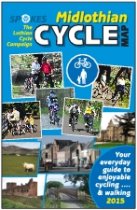
Full-colour map of the Midlothian region south of Edinburgh on waterproof paper....
RRP:6.95
Your price:
£6.26
In stock
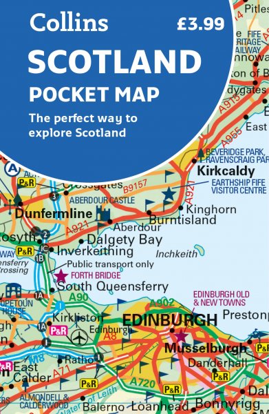
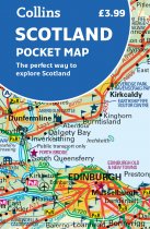
Handy little full colour map of Scotland. Excellent value and very detailed for its...
RRP:3.99
Your price:
£3.59

