Maps & Atlases
In stock
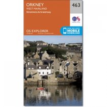
Every part of England, Scotland and Wales - however remote - is covered by 403 maps...
RRP:12.99
Your price:
£11.69
In stock
Every part of England, Scotland and Wales - however remote - is covered by 403 maps...
RRP:12.99
Your price:
£11.69
In stock
Every part of England, Scotland and Wales - however remote - is covered by 403 maps...
RRP:12.99
Your price:
£11.69
In stock
Every part of England, Scotland and Wales - however remote - is covered by 403 maps...
RRP:12.99
Your price:
£11.69
In stock
Every part of England, Scotland and Wales - however remote - is covered by 403 maps...
RRP:12.99
Your price:
£11.69
In stock
Every part of England, Scotland and Wales - however remote - is covered by 403 maps...
RRP:12.99
Your price:
£11.69
In stock
Every part of England, Scotland and Wales - however remote - is covered by 403 maps...
RRP:12.99
Your price:
£11.69
In stock
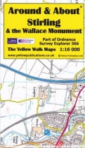
Around and About maps bring local mapping to a wider audience. They are very popular...
RRP:4.95
Your price:
£4.46
In stock
Around and About maps bring local mapping to a wider audience. They are very popular...
RRP:4.95
Your price:
£4.46
In stock
Around and About maps bring local mapping to a wider audience. They are very popular...
RRP:4.95
Your price:
£4.46
In stock
Around and About maps bring local mapping to a wider audience. They are very popular...
RRP:4.95
Your price:
£4.46
In stock
Around and About maps bring local mapping to a wider audience. They are very popular...
RRP:4.95
Your price:
£4.46

