View Books & Maps by Region
Currently out of Stock
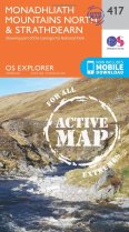
Explore the ‘Grey Mountains’, one of the most ancient landscapes in Britain. Climb...
RRP:16.99
Your price:
£15.29
Currently out of Stock
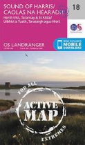
More than a map - an essential piece of equipment. This new generation HARVEY...
RRP:15.50
Your price:
£13.95
Currently out of Stock
An all purpose map packed full of information to help you really get to know an area....
RRP:16.99
Your price:
£15.29
Currently out of Stock
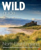
Adventures in Northumberland, Yorkshire Moors and the North Penines. Discover the...
RRP:18.99
Your price:
£17.09
Currently out of Stock
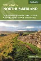
A guidebook to 36 walks exploring Northumberland, including the national park, coast,...
RRP:14.95
Your price:
£13.46
Currently out of Stock
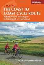
The flagship Sea to Sea / C2C Cycle Route is the UK's most popular short
cycle tour –...
RRP:16.95
Your price:
£15.26
Currently out of Stock
Map sheet number 139 in the OS Explorer series covers Ilfracombe, Bideford, Barnstaple,...
RRP:12.99
Your price:
£11.69
Currently out of Stock
The Ultramap covers a large area yet is small enough to slip in a pocket.It is a fully...
RRP:11.50
Your price:
£10.35
Currently out of Stock
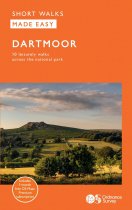
This guide features ten family-friendly and easy-paced short walks
within Dartmoor,...
RRP:8.99
Your price:
£8.09
Currently out of Stock
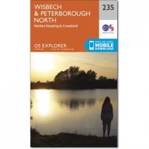
Map sheet number 235 covers Wisbech and Peterborough North. Highlights include the...
RRP:12.99
Your price:
£11.69
Currently out of Stock
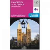
The Landranger map is an all purpose map packed full of information to help you really...
RRP:12.99
Your price:
£11.69
Currently out of Stock
The only county Street Atlas with all the named streets of Lincolnshire and perfect...
RRP:16.99
Your price:
£15.29

