Maps & Atlases
In stock
OS Explorer is the Ordnance Survey's most detailed map and is recommended for anyone...
RRP:16.99
Your price:
£15.29
In stock
The OS Landranger Map series covers Great Britain with 204 detailed maps, perfect for...
RRP:12.99
Your price:
£11.69
In stock
The OS Landranger Map series covers Great Britain with 204 detailed maps, perfect for...
RRP:12.99
Your price:
£11.69
In stock
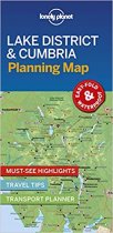
Durable and waterproof, with a handy slipcase and an easy-fold format, Lonely Planet's...
RRP:4.99
Your price:
£4.49
In stock
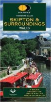
8 walks to the north of Skipton The map is clear and easy to understand. It includes...
RRP:6.95
Your price:
£6.26
In stock
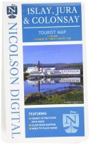
A brand new tourist map covering the islands of Islay, Jura and Colonsay. Showing many...
RRP:7.99
Your price:
£7.19
In stock
A handy, waterproof map breaking down the Fife Pilgrim Way into seven sections. The...
RRP:10.95
Your price:
£9.86
In stock
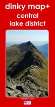
The new Dinky Maps published by Dorrigo feature Ordnance Survey scale mapping
RRP:9.99
Your price:
£8.99
In stock
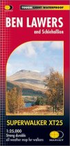
GPS compatible. 1:25 000 Scale, detailed for sure navigation, clear and easy to read...
RRP:15.50
Your price:
£13.95
In stock
This compact map and guide of the Loch Ness area allows you to plan a trip with a map...
RRP:6.99
Your price:
£6.29
In stock
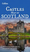
Explore Scotland’s ancient monuments with this pictorial map featuring over 700 castles...
RRP:7.99
Your price:
£7.19
In stock
More than a map - an essential piece of equipment.
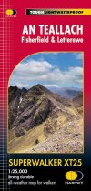
This new generation HARVEY...
RRP:15.50
Your price:
£13.95

