Ordnance Survey
In stock
Every part of England, Scotland and Wales - however remote - is covered by 403 maps...
RRP:12.99
Your price:
£11.69
In stock
Every part of England, Scotland and Wales - however remote - is covered by 403 maps...
RRP:12.99
Your price:
£11.69
In stock
Every part of England, Scotland and Wales - however remote - is covered by 403 maps...
RRP:12.99
Your price:
£11.69
In stock
Every part of England, Scotland and Wales - however remote - is covered by 403 maps...
RRP:12.99
Your price:
£11.69
In stock
Every part of England, Scotland and Wales - however remote - is covered by 403 maps...
RRP:12.99
Your price:
£11.69
In stock
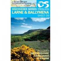
Larne 1:50 000 scale multipurpose paper mapping.
RRP:10.99
Your price:
£9.89
In stock
Weatherproofed Active Map. Every part of England, Scotland and Wales - however remote -...
RRP:16.99
Your price:
£15.29
In stock
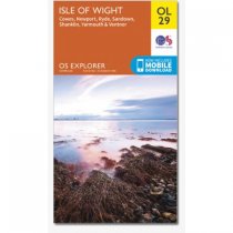
Map sheet number OL29 in the OS Explorer map series is the perfect map for your days...
RRP:12.99
Your price:
£11.69
In stock
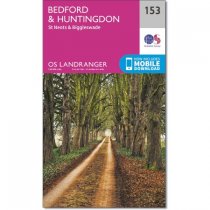
The old towns of Bedford, Huntingdon and St Neots are all situated on the banks of the...
RRP:12.99
Your price:
£11.69
In stock
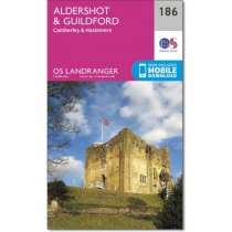
Map sheet number 186 in the OS Landranger map series is perfect for planning days out...
RRP:12.99
Your price:
£11.69
In stock
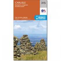
Taking in Dalston, Carlisle, Gretna Green and Longtown this map also covers part of the...
RRP:12.99
Your price:
£11.69
In stock
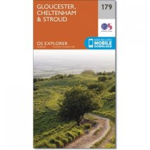
Map sheet number 179 in the OS Explorer series covers the area around Gloucester,...
RRP:12.99
Your price:
£11.69

