Maps & Atlases
Currently out of Stock
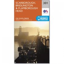
Map sheet number 301 in the OS Explorer series covers the east coast of Yorkshire...
RRP:12.99
Your price:
£11.69
Currently out of Stock
OS Explorer Map 149 includes the Kent Downs and the Isle of Sheppey. This low-lying...
RRP:12.99
Your price:
£11.69
Currently out of Stock
OS Explorer Map 269 covers Chesterfield, Sutton in Ashfield and Alfreton. There are a...
RRP:16.99
Your price:
£15.29
Currently out of Stock
This full colour atlas and guide of Devon, Cornwall and West Somerset combines road...
RRP:6.99
Your price:
£6.29
Currently out of Stock
The only county atlas with all the named streets of Somerset - more than 24,000 named...
RRP:16.99
Your price:
£15.29
Currently out of Stock
This A-Z map of South East England is a full colour regional road atlas featuring 46...
RRP:7.99
Your price:
£7.19
Currently out of Stock
Discover new places in central London with this handy pocket map from Collins.
Clear...
RRP:3.99
Your price:
£3.59
Currently out of Stock
Peak District Trail Running is a comprehensive guide to off-road running in the Peak...
RRP:14.95
Your price:
£13.46
Currently out of Stock
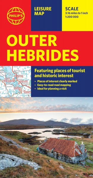
These maps are designed for tourist and leisure activities. Each map covers an area...
RRP:10.99
Your price:
£9.89
Currently out of Stock
Handy little full colour map of Northern Ireland.
Main features of this map include:...
RRP:3.99
Your price:
£3.59
Currently out of Stock
OS Explorer is the Ordnance Survey's most detailed map and is recommended for anyone...
RRP:12.99
Your price:
£11.69
Currently out of Stock
OS Explorer is the Ordnance Survey's most detailed map and is recommended for anyone...
RRP:12.99
Your price:
£11.69

