Maps & Atlases
In stock
Map sheet number 183 in the OS Landranger map series is the ideal map for planning days...
RRP:12.99
Your price:
£11.69
In stock
Map sheet number OL19 in the OS Explorer series covers Appleby-in-Westmorland, the...
RRP:12.99
Your price:
£11.69
In stock
Map sheet number 103 in the OS Explorer map series is the ideal map for exploring The...
RRP:16.99
Your price:
£15.29
In stock
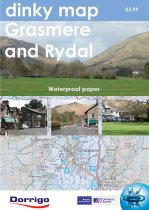
The new Dinky Maps published by Dorrigo feature Ordnance Survey scale mapping
RRP:3.99
Your price:
£3.59
In stock
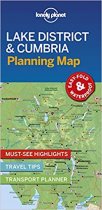
Durable and waterproof, with a handy slipcase and an easy-fold format, Lonely Planet's...
RRP:4.99
Your price:
£4.49
In stock
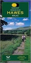
Yorskhire Dales 8 walks centred on Hawes. The map is clear and easy to understand. It...
RRP:6.95
Your price:
£6.26
In stock
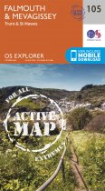
OS Explorer is the Ordnance Survey's most detailed map and is recommended for anyone...
RRP:16.99
Your price:
£15.29
In stock
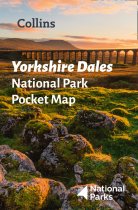
Handy little full colour map of Yorkshire Dales National Park. Detailed mapping and...
RRP:3.99
Your price:
£3.59
In stock
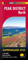
Includes Bleaklow, Black Hill and Derwent Reservoir.
Detailed map for hillwalkers of...
RRP:15.50
Your price:
£13.95
In stock
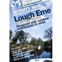
Outdoor pursuits map and navigation guide for Lough Erne, with easy-to-follow...
RRP:10.99
Your price:
£9.89
In stock
The unspoiled Causeway Coast of Antrim was one of Ireland's best-kept secrets until its...
RRP:12.99
Your price:
£11.69
In stock
Upper Lough Erne 1:50 000 scale multipurpose paper mapping.
RRP:10.99
Your price:
£9.89

