Maps & Atlases
In stock
An all purpose map packed full of information to help you really get to know an area....
RRP:12.99
Your price:
£11.69
In stock
Map sheet OL42 in the OS Explorer series covers an area of Northumberland National Park...
RRP:16.99
Your price:
£15.29
In stock
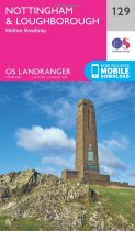
The city of Nottingham is a vibrant urban area with plenty to do and see, and features...
RRP:12.99
Your price:
£11.69
In stock
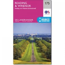
Landranger map number 175 shows Windsor, which offers you the chance to visit the...
RRP:12.99
Your price:
£11.69
In stock
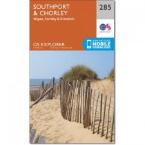
Map sheet number 285 in the OS Explorer map series is ideal for discovering the North...
RRP:12.99
Your price:
£11.69
In stock
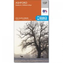
Map sheet number 137 in the OS Explorer series covers an area of Kent near Ashford and...
RRP:12.99
Your price:
£11.69
In stock
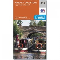
OS Explorer map 243 covers Market Drayton, Loggerheads, Eccleshall and the surrounding...
RRP:12.99
Your price:
£11.69
In stock
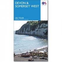
The OS Travel Map 5 for Devon & Somerset West. The Tour and Tourist series road maps...
RRP:6.99
Your price:
£6.29
In stock
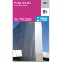
Map sheet number 109 in the OS Landranger map series is the ideal map for planning days...
RRP:12.99
Your price:
£11.69
In stock
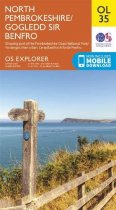
Map sheet OL35 in the OS Explorer series covers the North Pembrokeshire coast and the...
RRP:12.99
Your price:
£11.69
In stock
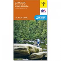
Map sheet number OL9 in the Explorer map series is the perfect walking companion for...
RRP:12.99
Your price:
£11.69
In stock
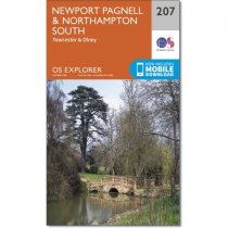
From Moreton Pinkney in the west to Olney in the east, this two sided map includes...
RRP:12.99
Your price:
£11.69

