Maps & Atlases
In stock
OS Explorer is the Ordnance Survey's most detailed map and is recommended for anyone...
RRP:12.99
Your price:
£11.69
In stock
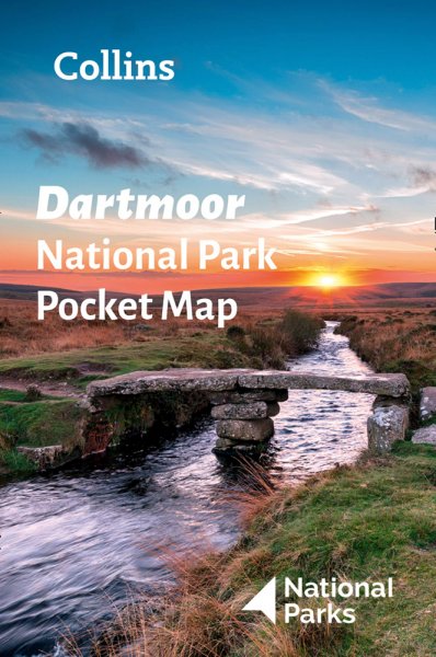
This handy sized map uses Ordnance Survey 1:25,000 mapping with all the usual features...
RRP:3.99
Your price:
£3.59
In stock
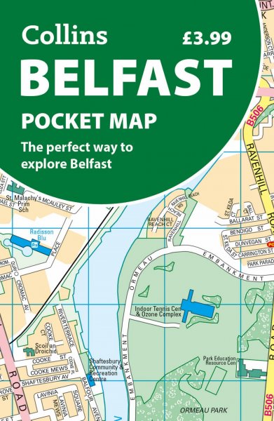
This atlas contains 37 pages of coloured street mapping that cosists of separate...
RRP:4.95
Your price:
£4.46
In stock
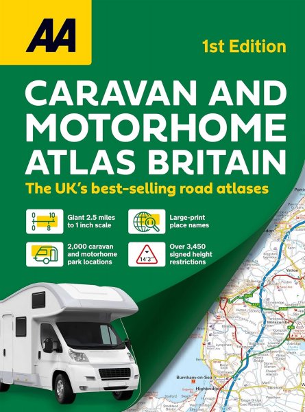
Navigate long-distance journeys with all of Great Britain’s motorways and primary roads...
RRP:7.99
Your price:
£7.19
In stock
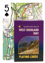
These playing cards make the perfect gift! Each card shows a unique piece of map...
RRP:10.99
Your price:
£9.89
In stock
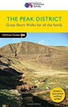
Featuring 20 circular routes, this Pathfinder Short Walks Peak District guide will...
RRP:7.99
Your price:
£7.19
In stock
Welcome to Outstanding Walks Lake District, your ultimate guide to the finest and most...
RRP:25.00
Your price:
£22.50
In stock
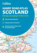
Your ideal companion for navigating around Scotland. It has extremely clear, route...
RRP:6.99
Your price:
£6.29
In stock
A full colour map of the Isle of Mull in 3D relief with information on places of interest.
RRP:4.99
Your price:
£4.49
In stock
GPS compatible. 1:25 000 Scale, detailed for sure navigation, clear and easy to read...
RRP:11.50
Your price:
£10.35
In stock
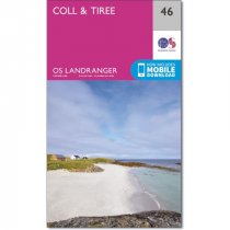
An all purpose map packed full of information to help you really get to know an area....
RRP:12.99
Your price:
£11.69
In stock
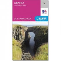
An all purpose map packed full of information to help you really get to know an area....
RRP:12.99
Your price:
£11.69

