Maps & Atlases
Currently out of Stock
Map sheet number 184 in the OS Explorer series covers the east of Essex on the North...
RRP:12.99
Your price:
£11.69
Currently out of Stock
Map sheet number 217 overs Wenlock Edge and The Long Mynd, iconic physical features of...
RRP:16.99
Your price:
£15.29
Currently out of Stock
The Ultramap covers a large area yet is small enough to slip in a pocket.It is a fully...
RRP:11.50
Your price:
£10.35
Currently out of Stock
The Pennine Bridleway is a 330km National Trail that runs through the Pennine Hills...
RRP:17.50
Your price:
£15.75
Currently out of Stock
This full-colour road atlas features 30 pages of continuous road mapping. Includes...
RRP:7.99
Your price:
£7.19
Currently out of Stock
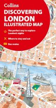
A new edition of London’s most original map. This hand-watercoloured map contains...
RRP:4.99
Your price:
£4.49
Currently out of Stock
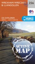
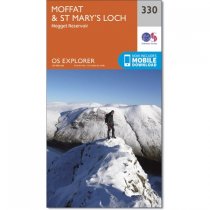
OS Explorer is the Ordnance Survey's most detailed map and is recommended for anyone...
RRP:12.99
Your price:
£11.69
Currently out of Stock
OS Explorer is the Ordnance Survey's most detailed map and is recommended for anyone...
RRP:16.99
Your price:
£15.29
Currently out of Stock
OS Explorer is the Ordnance Survey's most detailed map and is recommended for anyone...
RRP:16.99
Your price:
£15.29
Currently out of Stock
The new Dinky Maps published by Dorrigo feature Ordnance Survey scale mapping
RRP:3.99
Your price:
£3.59
Currently out of Stock
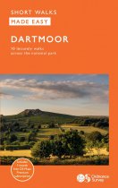
This guide features ten family-friendly and easy-paced short walks
within Dartmoor,...
RRP:8.99
Your price:
£8.09
Currently out of Stock
Every part of England, Scotland and Wales - however remote - is covered by 403 maps...
RRP:12.99
Your price:
£11.69

