England Maps
Currently out of Stock
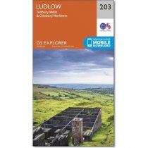
OS Explorer is the Ordnance Survey's most detailed map and is recommended for anyone...
RRP:12.99
Your price:
£11.69
Currently out of Stock
The 162-kilometre South Downs Way begins in Winchester and traces a ridgeline along the...
RRP:14.95
Your price:
£13.46
Currently out of Stock
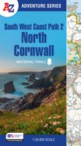
The perfect companion for those who love the great outdoors, the A-Z Adventure Series...
RRP:11.99
Your price:
£10.79
Currently out of Stock
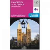
The Landranger map is an all purpose map packed full of information to help you really...
RRP:12.99
Your price:
£11.69
Currently out of Stock
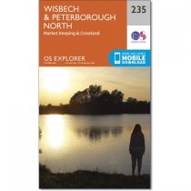
Map sheet number 235 covers Wisbech and Peterborough North. Highlights include the...
RRP:12.99
Your price:
£11.69
Currently out of Stock
Map sheet number 245 in the OS Explorer series covers The National Forest in the...
RRP:16.99
Your price:
£15.29
Currently out of Stock
The Ultramap covers a large area yet is small enough to slip in a pocket.It is a fully...
RRP:11.50
Your price:
£10.35
Currently out of Stock
This A-Z Adventure Atlas of the Peak District (Dark Peak) features 50 pages of...
RRP:11.99
Your price:
£10.79
Currently out of Stock
Map sheet number 282 covers Lincolnshire Wolds North, Louth and Market Rasen....
RRP:12.99
Your price:
£11.69
Currently out of Stock
OS Landranger map 102 covers the Preston & Blackpool area. The buzzing seaside resort...
RRP:16.99
Your price:
£15.29
Currently out of Stock
OS Explorer Map 233 shows Northampton, Market Harborough and Pitsford Water and has...
RRP:12.99
Your price:
£11.69
Currently out of Stock
Map sheet number 139 in the OS Explorer series covers Ilfracombe, Bideford, Barnstaple,...
RRP:12.99
Your price:
£11.69

