English Walking Maps
In stock
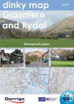
The new Dinky Maps published by Dorrigo feature Ordnance Survey scale mapping
RRP:3.99
Your price:
£3.59
In stock
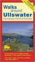
A map-guide to 15 walks around Ullswater, in the English Lake District
RRP:5.95
Your price:
£5.36
In stock
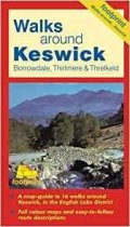
A map-guide to 16 walks around Keswick, in the English Lake District
RRP:5.95
Your price:
£5.36
In stock
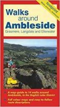
A map-guide to 14 walks around Ambleside, Grasmere, Langdale and Ellerwater, in the...
RRP:5.95
Your price:
£5.36
In stock
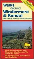
A map-guide to 16 walks in the Windermere & Kendal area of the English Lake District
RRP:5.95
Your price:
£5.36
In stock
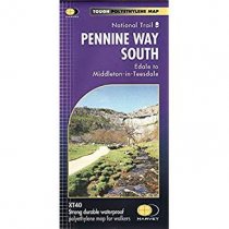
Now printed on 100% waterproof and practically indestructable polyethelene paper....
RRP:17.50
Your price:
£15.75
In stock
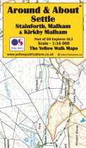
Around and About maps bring local mapping to a wider audience. They are very popular...
RRP:4.95
Your price:
£4.46
In stock
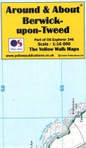
Around and About maps bring local mapping to a wider audience. They are very popular...
RRP:4.95
Your price:
£4.46
Currently out of Stock
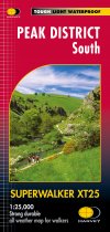
Covers the area from Buxton to Matlock. Includes Leek, the Roaches and Dovedale....
RRP:15.50
Your price:
£13.95
Currently out of Stock
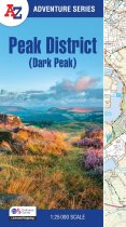
This A-Z Adventure Atlas of the Peak District (Dark Peak) features 50 pages of...
RRP:11.99
Your price:
£10.79
Currently out of Stock
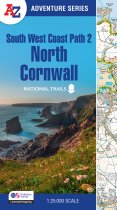
The perfect companion for those who love the great outdoors, the A-Z Adventure Series...
RRP:11.99
Your price:
£10.79
Currently out of Stock
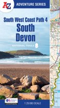
The perfect companion for those who love the great outdoors, the A-Z Adventure Series...
RRP:11.99
Your price:
£10.79
Best Sellers

