England Maps
Currently out of Stock
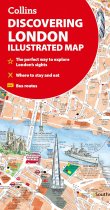
A new edition of London’s most original map. This hand-watercoloured map contains...
RRP:4.99
Your price:
£4.49
Currently out of Stock
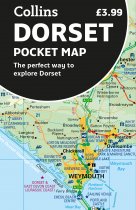
Handy little full colour map of Dorset.
Main features of this map include:
• Clear...
RRP:3.99
Your price:
£3.59
Currently out of Stock
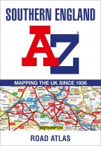
This is a full colour regional road atlas featuring 39 pages of continuous road mapping...
RRP:7.99
Your price:
£7.19
Currently out of Stock
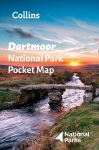
Handy little full colour map of Dartmoor National Park. Detailed mapping and visitor...
RRP:3.99
Your price:
£3.59
Currently out of Stock
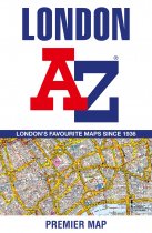
Navigate your way around London with this detailed, easy-to-use, and up-to-date A-Z...
RRP:8.99
Your price:
£8.09
Currently out of Stock
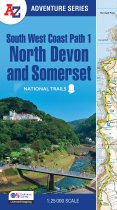
The perfect companion for those who love the great outdoors, the A-Z Adventure Series...
RRP:11.99
Your price:
£10.79
Currently out of Stock
Handy little full colour map of Peak District National Park. Detailed mapping and...
RRP:3.99
Your price:
£3.59
Currently out of Stock
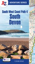
The perfect companion for those who love the great outdoors, the A-Z Adventure Series...
RRP:11.99
Your price:
£10.79
Currently out of Stock
Explore the whole county of Devon extending from Taunton to Plymouth. With detailed...
RRP:6.99
Your price:
£6.29
Currently out of Stock
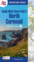
The perfect companion for those who love the great outdoors, the A-Z Adventure Series...
RRP:11.99
Your price:
£10.79
Currently out of Stock
This up-to-date detailed A-Z street map includes more than 1,600 streets in and around...
RRP:3.99
Your price:
£3.59
Currently out of Stock
This A-Z Adventure Atlas of the Peak District (Dark Peak) features 50 pages of...
RRP:11.99
Your price:
£10.79

