Maps & Atlases
In stock
OS Explorer is the Ordnance Survey's most detailed map and is recommended for anyone...
RRP:12.99
Your price:
£11.69
In stock
OS Explorer is the Ordnance Survey's most detailed map and is recommended for anyone...
RRP:12.99
Your price:
£11.69
In stock
A map-guide to 15 walks around Ullswater, in the English Lake District
RRP:5.95
Your price:
£5.36
In stock
The new Dinky Maps published by Dorrigo feature Ordnance Survey scale mapping
RRP:3.99
Your price:
£3.59
In stock
NEW!! Superwalker XT25 of the Lake District. Revised and re-designed. It's got...
RRP:15.50
Your price:
£13.95
In stock
The 200km (125 mile) long Anglesey Coastal Path is a long distance route that follows...
RRP:15.95
Your price:
£14.36
In stock
The Pennine Way and E2 European Long Distance Path along with the nearby Yorkshire...
RRP:12.99
Your price:
£11.69
In stock
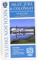
A brand new tourist map covering the islands of Islay, Jura and Colonsay. Showing many...
RRP:7.99
Your price:
£7.19
In stock
Covers a large area yet is handy and pocket perfect. 22 Munros, 14 Corbetts and 5...
RRP:11.50
Your price:
£10.35
In stock
As well as the city centre and St Philip’s Cathedral, the other areas covered include...
RRP:3.99
Your price:
£3.59
In stock
Handy little full colour map and guide of Loch Lomond National Park. Detailed mapping...
RRP:3.99
Your price:
£3.59
In stock
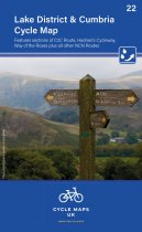
This covers the ever-popular Lake District and Cumbria. Features sections of the C2C...
RRP:6.99
Your price:
£6.29


