ALL PRODUCTS
In stock
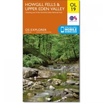
Map sheet number OL19 in the OS Explorer series covers Appleby-in-Westmorland, the...
RRP:12.99
Your price:
£11.69
In stock
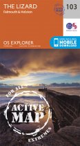
Map sheet number 103 in the OS Explorer map series is the ideal map for exploring The...
RRP:16.99
Your price:
£15.29

In stock
Outdoor pursuits map and navigation guide for Causeway Coast & Rathlin Island, with...
RRP:10.99
Your price:
£9.89

In stock
These maps are designed for tourist and leisure activities. Each map covers an area...
RRP:10.99
Your price:
£9.89

In stock
OS Explorer is the Ordnance Survey's most detailed map and is recommended for anyone...
RRP:16.99
Your price:
£15.29

In stock
OS Explorer is the Ordnance Survey's most detailed map and is recommended for anyone...
RRP:16.99
Your price:
£15.29

In stock
OS Explorer is the Ordnance Survey's most detailed map and is recommended for anyone...
RRP:12.99
Your price:
£11.69
In stock
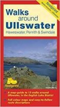
A map-guide to 15 walks around Ullswater, in the English Lake District
RRP:5.95
Your price:
£5.36

In stock
The new Dinky Maps published by Dorrigo feature Ordnance Survey scale mapping
RRP:3.99
Your price:
£3.59

In stock
""The 1:40,000 scale used by British Mountain Maps is excellent for hill walking. These...
RRP:18.95
Your price:
£17.06

In stock
The OS Landranger Map is the ideal map for planning the perfect day out. This best...
RRP:12.99
Your price:
£11.69
In stock
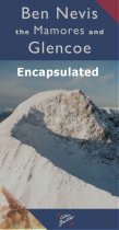
Ben Nevis the Mamores and Glen Coe Map 3cm : 2 km - encapsulated.
A Laminated Flat map.
RRP:6.95
Your price:
£6.26