Ordnance Survey
In stock
Upper Lough Erne 1:50 000 scale multipurpose paper mapping.
RRP:10.99
Your price:
£9.89
In stock
For use whether touring or exploring, these maps show the road network as well as...
RRP:10.99
Your price:
£9.89
In stock
Strangford Lough 1:50 000 scale multipurpose paper mapping.
RRP:10.99
Your price:
£9.89
In stock
Belfast 1:50 000 scale multipurpose paper mapping.
RRP:10.99
Your price:
£9.89
In stock
For use whether touring or exploring, these maps show the road network as well as...
RRP:10.99
Your price:
£9.89
In stock
For use whether touring or exploring, these maps show the road network as well as...
RRP:10.99
Your price:
£9.89
In stock
An all purpose map packed full of information to help you really get to know an area....
RRP:16.99
Your price:
£15.29
In stock
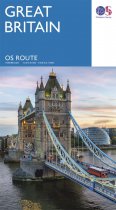
Navigate long-distance journeys with all of Great Britain’s motorways and primary roads...
RRP:7.99
Your price:
£7.19
In stock
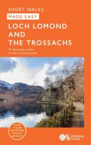
Centred on Loch Lomond, Britain’s largest loch, and the Great Trossachs Forest,...
RRP:6.99
Your price:
£6.29
In stock
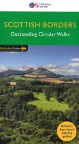
170 miles of revitalising Scottish Borders walking, with routes often starting from one...
RRP:12.99
Your price:
£11.69
In stock
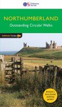
This new guide to Northumberland has ten brand-new Pathfinder walks across the county....
RRP:12.99
Your price:
£11.69
In stock
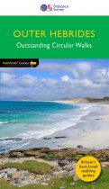
This new title to the Outer Hebrides represents a very welcome addition to our...
RRP:12.99
Your price:
£11.69
Best Sellers


