Maps & Atlases
In stock
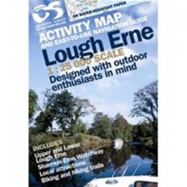
Outdoor pursuits map and navigation guide for Lough Erne, with easy-to-follow...
RRP:10.99
Your price:
£9.89
In stock
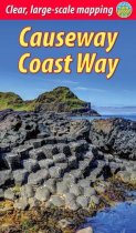
The unspoiled Causeway Coast of Antrim was one of Ireland's best-kept secrets until its...
RRP:12.99
Your price:
£11.69
In stock
Upper Lough Erne 1:50 000 scale multipurpose paper mapping.
RRP:10.99
Your price:
£9.89
In stock
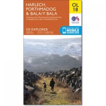
OS Explorer is the Ordnance Survey's most detailed map and is recommended for anyone...
RRP:12.99
Your price:
£11.69
In stock
The 200km (125 mile) long Anglesey Coastal Path is a long distance route that follows...
RRP:15.95
Your price:
£14.36
In stock
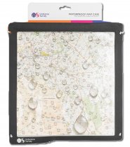
Ordnance Survey Grey Waterproof Map Case from OS ancillary range.
RRP:24.99
Your price:
£22.49
In stock
Featuring 20 walks in and around the city, including lesser-known circuits and details...
RRP:6.99
Your price:
£6.29
In stock
Map of Snowdon on playing cards.
Cards join together to form a map!
Map area...
RRP:10.99
Your price:
£9.89
In stock
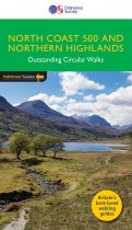
This all-new Pathfinder Guide covering the far north of mainland Scotland features 28...
RRP:12.99
Your price:
£11.69
In stock
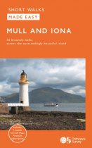
Walks range from 1 to 5 miles and are designed to be completed within a couple of...
RRP:8.99
Your price:
£8.09
In stock
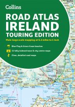
Explore Ireland with this accurate and fully updated road atlas.
This road atlas is at...
RRP:6.99
Your price:
£6.29
In stock
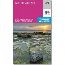
An all purpose map packed full of information to help you really get to know an area....
RRP:12.99
Your price:
£11.69

