Maps & Atlases
In stock
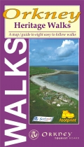
A map/guide to eight easy to follow walks
RRP:5.95
Your price:
£5.36
In stock
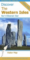
This map is the perfect companion to take for exploring the Western Isles. It is packed...
RRP:9.95
Your price:
£8.96
In stock
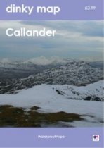
Dinky maps are handy sized waterproof maps created on popular walking areas.
RRP:3.99
Your price:
£3.59
In stock
Street map with index for Aviemore, Carrbridge, Grantown-on-Spey, Kingussie, Newtonmore
RRP:2.50
Your price:
£2.25
In stock
Ben Nevis the Mamores and Glen Coe Map 3cm : 2 km - encapsulated.
A Laminated Flat map.
RRP:6.95
Your price:
£6.26
In stock
Full-colour map of the Midlothian region south of Edinburgh on waterproof paper....
RRP:6.95
Your price:
£6.26
In stock
More than a map - an essential piece of equipment. Includes the iconic Ben Lui, 22...
RRP:15.50
Your price:
£13.95
In stock
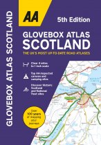
This handy atlas fits in the glovebox of your car, perfect for quick referencing on the...
RRP:6.99
Your price:
£6.29
In stock
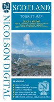
The Scotland Tourist Map is a must-have for planning your trip to Scotland. It clearly...
RRP:5.99
Your price:
£5.39
In stock
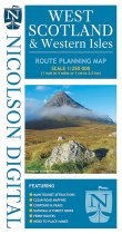
The Nicolson Digital West Scotland & Western Isles Route Planning Map is the latest...
RRP:7.99
Your price:
£7.19
In stock
An all purpose map packed full of information to help you really get to know an area....
RRP:12.99
Your price:
£11.69
In stock
Map sheet OL42 in the OS Explorer series covers an area of Northumberland National Park...
RRP:16.99
Your price:
£15.29

